Dynamic Positioning
Rice Electronics offers a wide variety of proven products to enhance ship performance, reliability, safety, and security as a fully integrated system. Our capabilities in combining this wide range of cutting edge technologies into an easily usable, customizable communications system are unsurpassed, even in the face of your most complex, demanding needs.
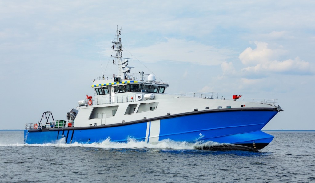
MARINE GPS & POSITIONING SYSTEMS
Rice Electronics weaves together all your communications and navigational technologies so that you can control them and use them as a fully integrated system, utilizing and capitalizing on the strengths of all the components – as well as piggy-backing on resources that are already present – such as cabling and wiring. We also excel at taking communications systems that already exist and updating, adding other systems, or creating greater economy and efficiency by eliminating redundancies.
Maritime GPS or Global Positioning System is a precise navigation tool used at sea and on land to locate one’s position. It employs the use of the polar orbiting satellite system that can not only measure one’s exact location on the earth’s surface but can also pinpoint one’s elevation. The availability of products range from pocketsize units with map overlays to chart table units with a myriad of output signals to interface with radar and electronic charting devices (ECDS).
We can take any sensor (for example, Latitude/Longitude, Wind Speed, and/or Wind Direction) and, through our special custom electronics configuration process, map it so that it is viewable in real-time on a computer via Inmarsat and/or through one of our custom-built web portals via Globalstar Satellite hookup.